
See how Live Site Map helps beekeepers manage hive inspections, maintenance records, locations, photos and reporting across multiple apiary sites.
Most industries operate from a site.
Road maintenance contractors operate across entire regions.
A single contract may cover hundreds or thousands of kilometres of road network.
Crews are constantly moving between locations.
Inspections occur daily.
Defects are identified across vast geographic areas.
Work orders are issued to multiple crews.
Site conditions change constantly.
The challenge is not collecting information.
The challenge is knowing exactly where that information belongs.
When maintenance activities are spread across hundreds of kilometres, location becomes the most important piece of information in the project.
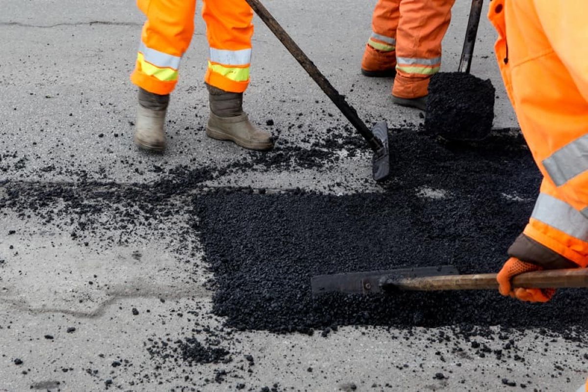
Road maintenance work is almost always triggered by something found in the field.
A pothole.
A damaged guardrail.
A blocked culvert.
A damaged sign.
A shoulder failure.
A drainage issue.
A vegetation encroachment.
Before anybody can respond, somebody needs to communicate exactly where the issue exists.
Many contractors still rely on road names, chainages, kilometre markers, written descriptions and photographs.
While these methods work, they often create unnecessary back-and-forth communication between inspectors, supervisors and field crews.
Maps provide a clearer way to communicate work locations.
Finding defects is rarely the problem.
Managing them across a large network is much harder.
A contract can contain hundreds of active defects at any given time.
Some require urgent attention.
Others are programmed for future works.
Some require inspection.
Others require multiple crews to complete.
As defect numbers increase, spreadsheets and email chains become difficult to manage.
Teams need a simple way to visualise where defects are located and what information is attached to each location.
Routine inspections produce enormous amounts of field information.
Photos.
Notes.
Observations.
Measurements.
Maintenance recommendations.
Follow-up actions.
Most contractors have no shortage of information.
The difficulty comes later when somebody needs to retrieve it.
A photograph may show a damaged culvert.
A note may describe shoulder erosion.
An inspection may identify drainage issues.
Without location context, these records become harder to use over time.
When information is linked directly to a map location, the record remains meaningful long after the inspection has been completed.
Road maintenance operations involve multiple people.
Inspectors identify issues.
Supervisors prioritise work.
Administrators coordinate resources.
Field crews complete repairs.
Clients review outcomes.
Each group relies on the same information but often accesses it differently.
This creates communication challenges.
Work instructions may be misunderstood.
Photos may be difficult to locate.
Site details may need to be repeated multiple times.
A shared visual workspace gives everyone access to the same location-based information.
One of the biggest differences between road maintenance and traditional construction projects is scale.
There is no single project site.
There may be hundreds of active locations spread across multiple towns, highways and regional road networks.
Understanding where crews are working and where issues exist becomes increasingly difficult as contract areas grow.
A map-based approach provides a simple way to view the entire network and understand what is happening across the contract.
Road maintenance teams capture thousands of photographs each year.
Photos of defects.
Photos of completed works.
Photos of drainage infrastructure.
Photos of signage.
Photos of roadside assets.
The challenge is that photographs alone do not always provide enough information.
Where was the photo taken?
Which side of the road?
Which structure?
Which inspection?
Linking photographs directly to locations helps create a visual record that is easy to understand and retrieve.
Maintenance activities do not end when the work is finished.
Clients often require evidence that repairs were completed.
Supervisors need visibility of completed works.
Future inspections may need access to previous records.
By connecting completed work records, photographs and notes directly to the location where the work occurred, contractors can create a clear history of maintenance activities across the network.
Road maintenance contracts typically involve a mix of reactive and planned works.
Emergency repairs.
Routine inspections.
Scheduled maintenance.
Defect rectification.
Drainage programs.
Vegetation management.
Asset replacements.
Regardless of the activity, the common requirement remains the same.
Teams need a reliable way to communicate location-based information.
Road maintenance contractors manage information across some of the largest work areas in the industry.
Defects.
Inspections.
Work locations.
Photos.
Maintenance records.
Site observations.
The challenge is keeping that information connected to the place where work occurs.
Live Site Map provides a shared visual workspace where contractors can manage road maintenance information directly on maps and plan overlays.
Because when teams are responsible for hundreds of kilometres of road network, finding information starts with knowing where it is.
And once everybody knows where it is, they can understand what it is.
If you have any further questions or need assistance with Live Site Map, feel free to reach out to us anytime

If you have any further questions or need assistance with Akaunt, feel free to reach out to us anytime