Live Site Map provides a practical way to manage field documentation by linking records directly to maps, plans and real-world locations. Instead of storing photos, notes and inspection records across multiple systems, documentation is organised in a shared visual workspace that is easy to access and understand.
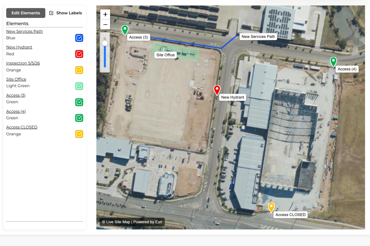
Create records directly against a location, asset, service or work area using maps or plan overlays.
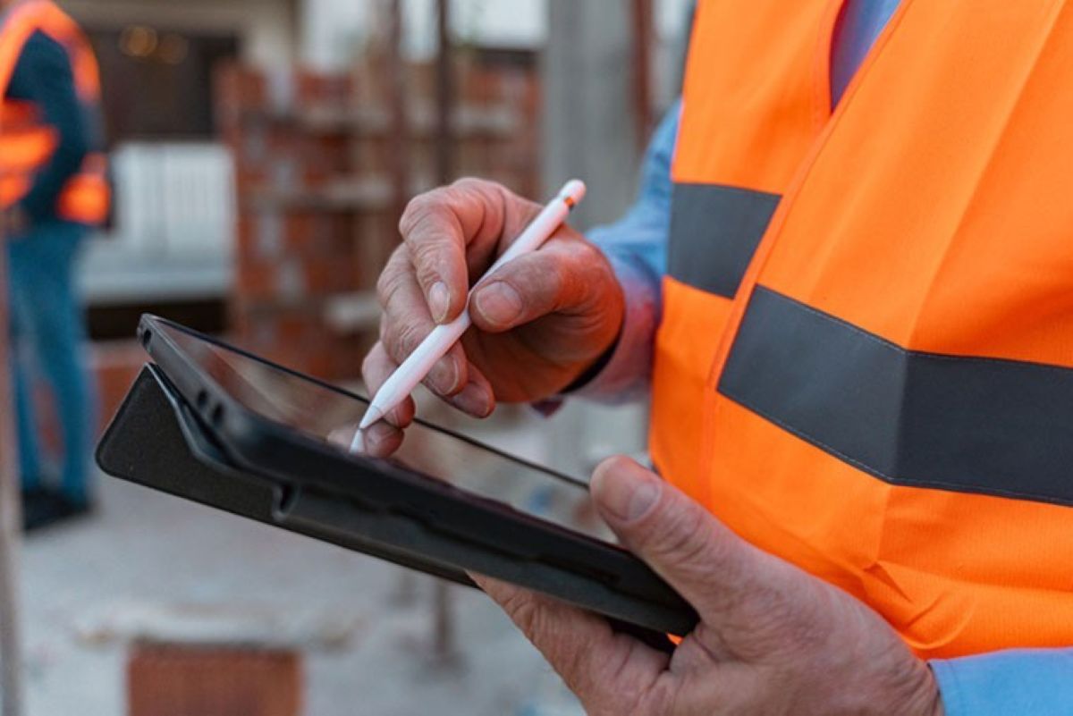
Record observations, inspection results, site notes, photos and documents while work is being performed.
Every record remains connected to the location where the information was collected, providing important context for future reference.
As documentation is added over time, Live Site Map creates a visual record of inspections, observations, maintenance activities and completed works.
Provide field crews, office staff, clients and contractors with access to the same information through a shared visual workspace.
Create structured records for inspections, observations, maintenance activities, defects and operational information.
Connect photos, notes and documentation directly to real-world locations.
Capture documentation against construction drawings, engineering plans and site layouts.
Allow documentation captured in the field to become immediately available to office staff and project stakeholders.
Are you struggling to turn field observations, notes and photos into usable project information?
Many field teams spend their days collecting valuable information, only for that information to become trapped in notebooks, phone galleries, spreadsheets and disconnected reports. By the time records reach supervisors, project managers or clients, important context has often been lost. People can see what was recorded but not always where it relates to on the ground.
The result is a constant cycle of clarification. Office staff request additional photos. Supervisors call field crews to confirm locations. Project teams spend time interpreting information that should already be clear. Documentation exists, but it is often difficult to understand without the person who originally captured it.
Instead of documenting work inside spreadsheets and forms alone, records can be created directly against maps and plans. Every photo, note and observation gains location context from the moment it is captured.
Field information becomes immediately available to office teams, reducing delays between work being completed and information becoming available for review.
Documentation remains attached to locations over time, creating a permanent visual history that can be referenced long after the original work has been completed.
Records contain the visual context needed to understand what was documented and where it occurred.
Information is already organised when documentation is captured, reducing the effort required to prepare reports and updates.
Project information remains accessible even when staff change roles or leave the organisation.
Managers, clients and stakeholders can quickly understand field activities without relying on lengthy explanations.
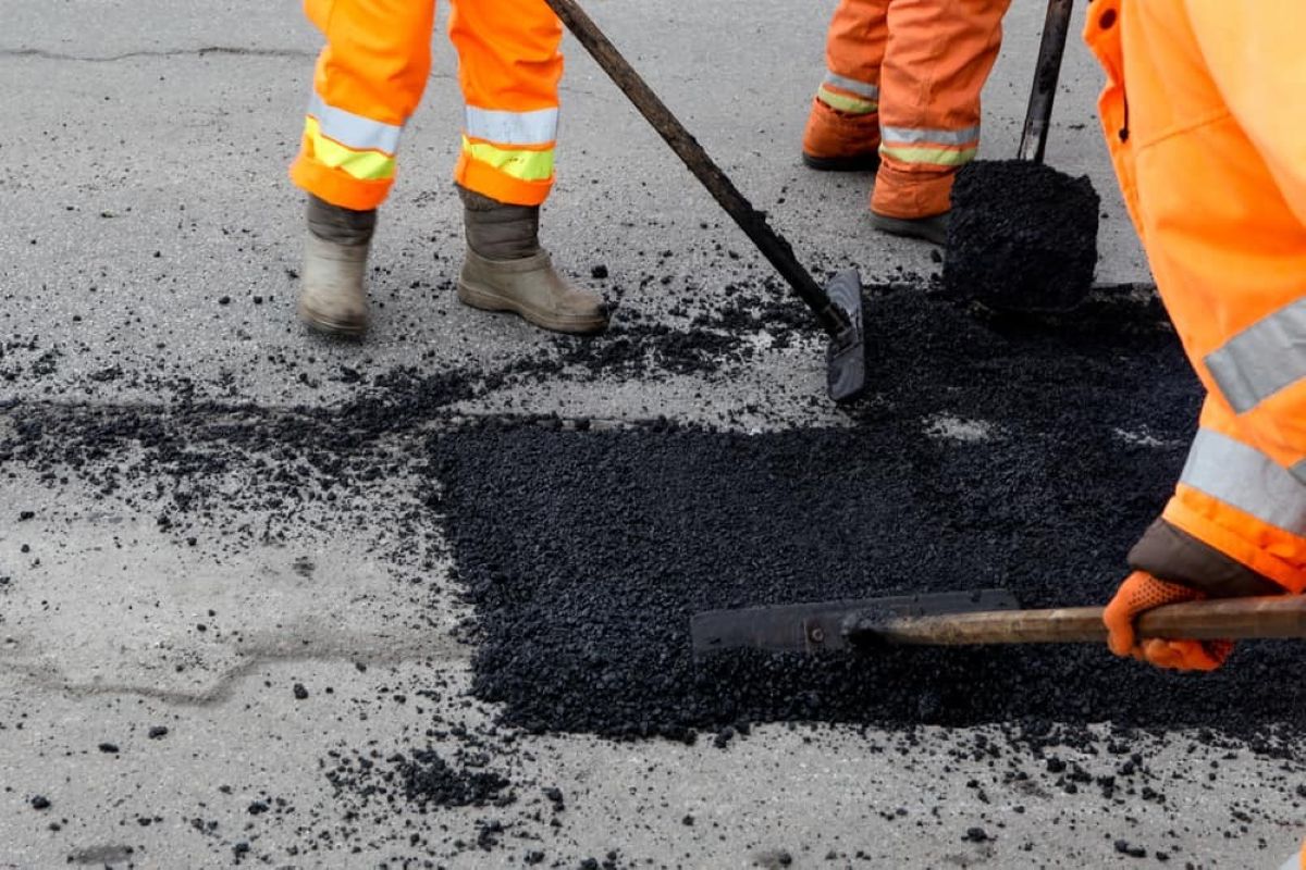


Site supervisors can document progress, defects, completed works and installation activities directly against locations throughout the project lifecycle.
Consultants can record observations, sampling locations, site conditions and supporting photographs while conducting field investigations.
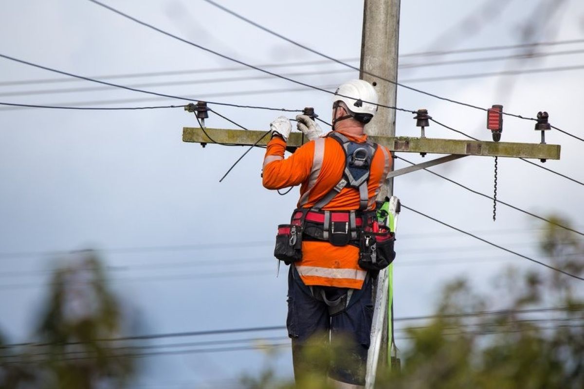
Field crews can document maintenance activities, repairs, inspections and asset information across distributed networks.
Technicians can record completed work, site conditions and supporting evidence while servicing equipment and infrastructure.
A civil contractor installs underground drainage infrastructure across a large subdivision. Rather than taking photos and creating documentation at the end of the day, crews record installation details as work progresses. Photos, notes and location information are linked together in real time. When project managers review progress, they can immediately see where work has occurred and access supporting documentation without contacting field staff.
Field documentation is one of the most important activities in any project or operational environment. It provides evidence of completed work, records site conditions, supports compliance requirements and creates a permanent reference for future decision-making.
Despite its importance, field documentation remains one of the most challenging processes for many organisations.
The reason is simple. Field work happens in the real world, while documentation is often managed in disconnected digital systems. Crews work across construction sites, roads, facilities, utility corridors and remote locations. Information is collected where work occurs, but documentation frequently ends up separated from the physical locations it was intended to describe.
This disconnect creates inefficiencies throughout an organisation.
Field workers often spend additional time completing paperwork after work has been completed. Supervisors spend time validating information and clarifying details. Project managers review records without fully understanding where observations were made. Clients receive reports that provide information but limited context.
As projects become larger and more complex, these problems become increasingly difficult to manage. Modern projects can generate thousands of photos, records and field observations. While storing information is relatively easy, organising it in a way that remains useful is significantly more challenging.
One of the biggest causes of documentation inefficiency is the separation of information from location. A photograph may clearly show an issue, but without location context its value is reduced. A field note may contain important information, but future teams may struggle to understand where the observation occurred. A report may describe completed work, but locating that work months later can become difficult.
This challenge affects almost every industry that operates in the field.
Construction projects require accurate records of progress and completed works. Utility providers need maintenance and asset documentation. Environmental consultants rely on field observations and sampling records. Facilities managers need clear records of maintenance activities and site conditions.
Industry expectations are also changing. Clients increasingly expect better documentation. Asset owners require accurate records throughout the lifecycle of infrastructure. Regulators expect organisations to maintain reliable evidence of inspections, maintenance and operational activities.
As a result, organisations are looking for ways to simplify documentation while improving information quality.
One of the most effective approaches is to document information within its physical context. Rather than treating records as standalone files, organisations can connect documentation directly to maps, plans and locations. This creates a more intuitive way of organising information because it reflects how field work actually occurs.
When documentation remains linked to location, information becomes easier to understand, easier to retrieve and easier to communicate. Teams can navigate visually through projects and sites rather than searching through folders and reports. Historical information remains accessible long after work has been completed.
The benefits extend beyond record keeping. Better documentation improves communication, reduces duplication, supports project delivery and helps preserve organisational knowledge. Teams spend less time searching for information and more time using it.
Field documentation should do more than record what happened. It should help organisations understand where work occurred, what was completed and how information relates to the broader project environment. When documentation remains connected to location, it becomes significantly more valuable throughout the life of a project, asset or facility.
That is why organisations are increasingly moving towards location-based documentation systems that help everyone understand both the information itself and the place it relates to.


1234.png)