Live Site Map provides a practical way to create, manage and share site records. Instead of storing information across phones, emails, spreadsheets and folders, records are linked directly to maps and plans so everyone can quickly understand what it is and where it is.
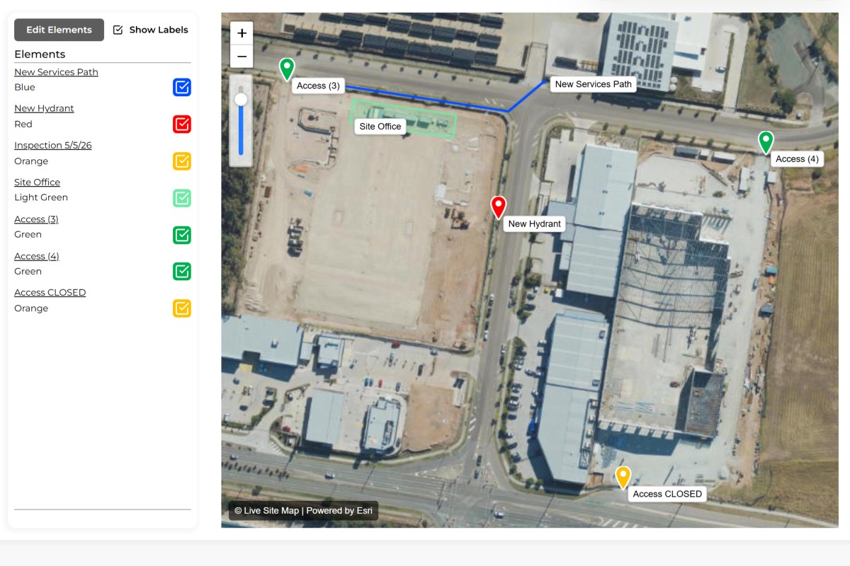
Create a location, path, area or shape directly on a map or plan overlay to represent the item, issue, asset or observation being recorded.
Attach photos, notes, documents, inspection results, observations and other relevant information directly to the record.
As new information is added, each record becomes a complete history of activity linked to a specific location.
Field teams and office staff can view the same records through a shared visual workspace, improving communication and reducing duplicated effort.
Share records with clients, contractors and stakeholders through live links or export information when required for reporting and documentation.
Connect photos, notes and operational information directly to real-world locations.
Record information directly on construction drawings, engineering plans and site layouts.
Organise records into dedicated markups for projects, inspections, maintenance activities or operational workflows.
Allow field teams and office staff to work from the same information as records are created and updated.
Are you struggling to keep track of site records across projects, teams and locations?
Most organisations generate hundreds or even thousands of site records over the life of a project. Photos, notes, permits, field observations, as-built information, defect records and installation details often end up scattered across emails, network folders, spreadsheets and mobile phones. The information exists somewhere, but finding it when needed can become frustrating and time-consuming.
The challenge is rarely collecting information. The challenge is locating it later. Teams often remember recording something but cannot remember where it was stored, who captured it or which part of the site it relates to. As projects become larger and involve more people, site records can quickly become disconnected from the locations they were intended to document.
Every record can be linked directly to a physical location on a map or plan. Instead of searching through folders and reports, users can navigate visually to the area of interest and access the associated information.
Site plans, utility drawings, construction layouts and aerial imagery can be used as visual reference layers. This provides immediate context for records and allows teams to understand information within the broader site environment.
Field crews can create records as work is performed. Notes, photos and observations become immediately available to supervisors, project managers and office staff without additional administration.
Records remain organised around locations, making information significantly easier to retrieve months or years later.
Site knowledge remains stored with the project rather than relying on individual staff members.
Teams follow a common process for recording information, helping improve record quality across projects.
Managers gain a clearer view of site information without relying on multiple disconnected systems.


Store defect records, progress photos, installation records and quality observations against precise locations throughout a project lifecycle.
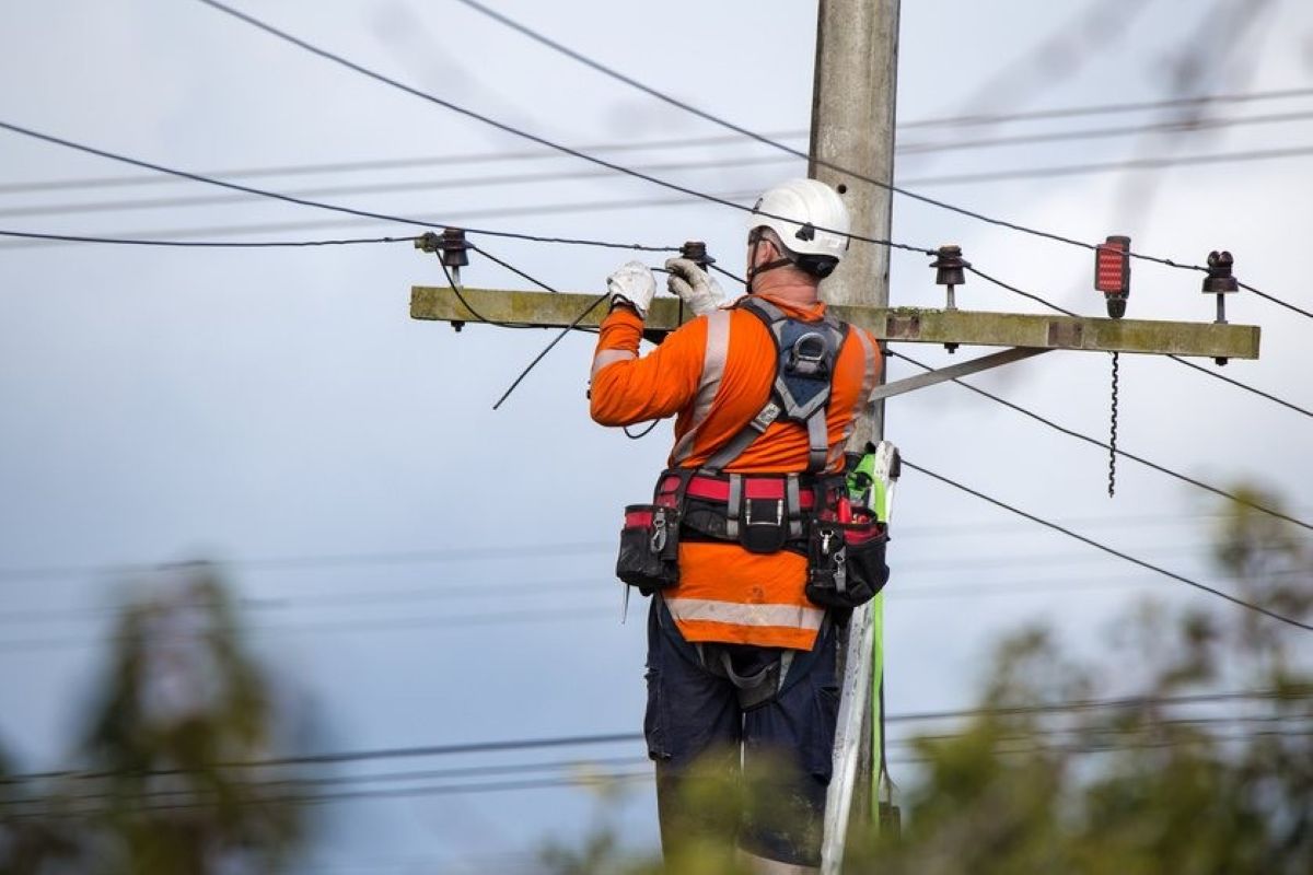
Maintain field observations, maintenance history, asset information and service records across large distributed networks.
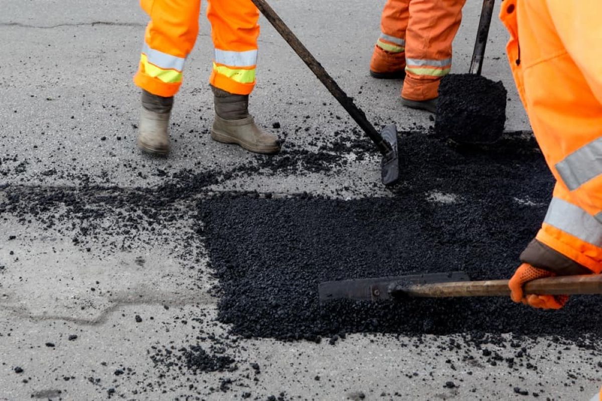
Capture construction records, inspection results and project information across roads, rail, water and civil infrastructure projects.
Manage maintenance records, contractor activities and site information across buildings, campuses and facilities.
A contractor completes underground service installations across a new development. Instead of taking photos and filing them into project folders later, field crews create site records directly against installation locations. Photos, notes and supporting information become available immediately. Months later, supervisors can select any location on the map and access the original installation records within seconds.
Every project generates information. The challenge is not creating records. The challenge is ensuring those records remain useful long after they have been captured.
Across construction, utilities, infrastructure, environmental services and facilities management, site records form the foundation of operational knowledge. They provide evidence of completed work, document site conditions, support maintenance activities and create historical references that can be relied upon in the future.
Traditionally, site records have been managed through a combination of paper forms, spreadsheets, shared drives, PDF reports and photo libraries. While these systems can store information, they often fail to preserve the context surrounding that information. Records become disconnected from the physical locations they were intended to document.
This creates a common problem. Teams know they have the information, but they cannot easily find it when needed.
A project manager may need to locate installation photographs from two years ago. A maintenance contractor may need to identify where a previous repair was completed. An engineer may require access to field observations collected during construction. In each case, valuable information exists but locating the correct record can require considerable effort.
The problem becomes more significant as projects grow. A small project may generate hundreds of records. Major infrastructure projects can generate tens of thousands. Without a structured approach to managing records, organisations often rely on staff knowledge and memory to locate information. When staff leave or projects change hands, critical knowledge can disappear with them.
There is also increasing pressure on organisations to maintain accurate records for compliance, asset management and operational purposes. Clients expect better documentation. Asset owners require improved visibility. Contractors need reliable records to support future maintenance and defect management activities.
As a result, many organisations are moving away from document-centric record management and towards location-centric information management. Instead of asking which folder contains a record, teams can start by identifying the location and accessing the associated information directly.
This approach aligns naturally with how field operations occur. Most field activities happen at specific places. Defects occur at locations. Assets exist at locations. Inspections are performed at locations. Installation work happens at locations. Managing information through a spatial framework makes it easier to understand and retrieve.
The ability to combine GPS locations, site plans, photos and field records within a shared workspace also improves communication between field crews and office staff. Everyone works from the same information source, reducing duplication and improving visibility across projects.
As organisations continue to generate larger volumes of field information, the ability to effectively manage site records becomes increasingly important. Information that cannot be found has limited value. Information that remains connected to a location can continue delivering value throughout the entire life of a project, asset or facility.
The most effective site record systems do more than store information. They help people understand what it is and where it is. That simple principle can dramatically improve how organisations manage field information, project documentation and operational knowledge.


.jpg)